

SEEING AVAILABILITY
Seeing Availability is a collection of research and maps that were published by New City Design Chicago as part of The Geography of Emptiness: Newcity Explores the 2021 Chicago Architecture Biennial. Read the full article HERE.
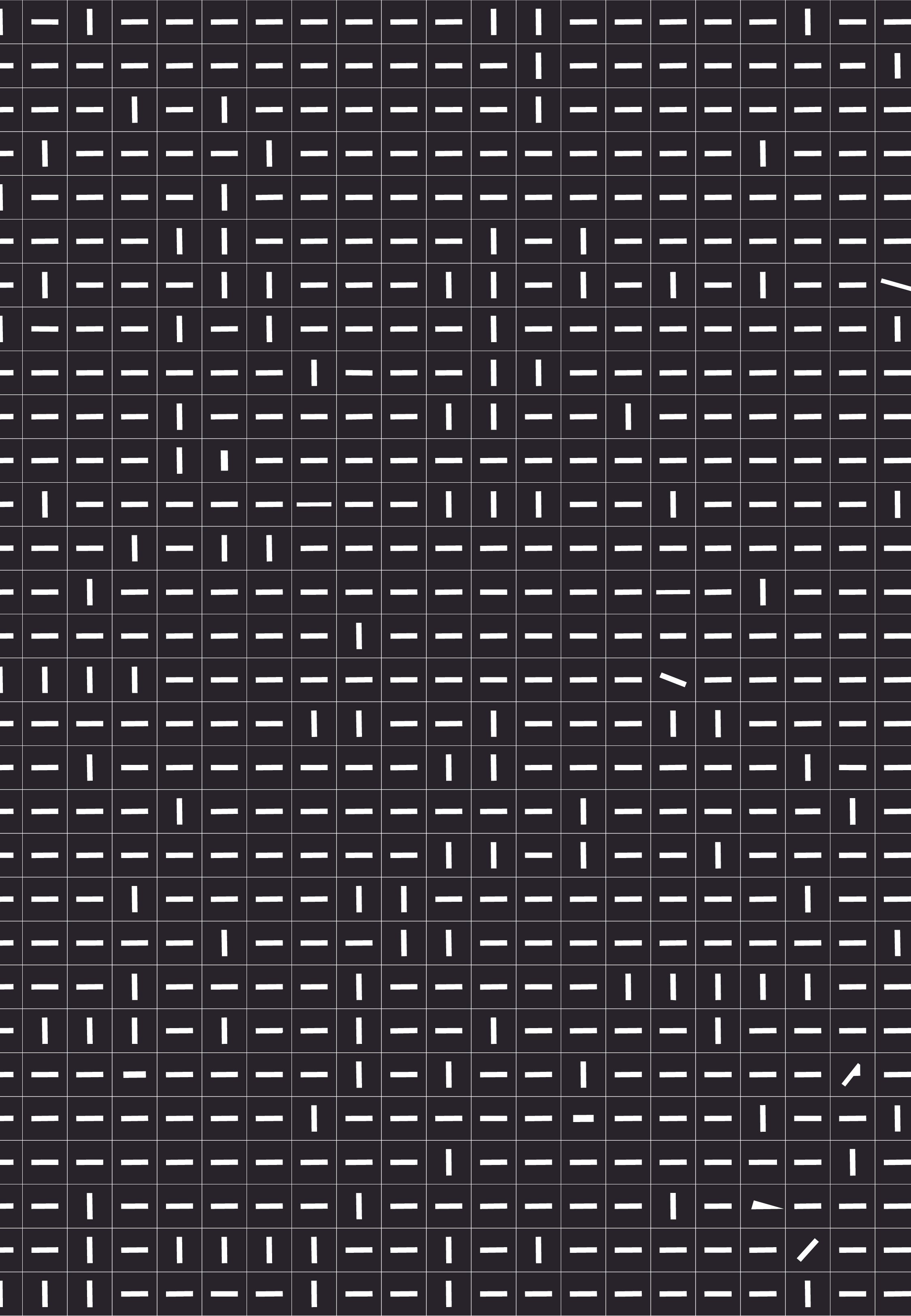
The City of Chicago owns almost 2% of the entire city - nearly 126 million square feet of land. Using the city’s Land Inventory database, these properties are made visible to show the scope of available transformation within Chicago.
We may not physically see the division lines that dictate so much of what happens in our cities when we walk down the street, but the invisible infrastructure en masse is hard to ignore. This process and information is full of numbers and data, but its story impacts the neighbors and people whose communities within which we walk by, inhabit and intervene.
[ABOVE]
65% of the city owned parcels accounted for in this research are in residential zoning areas. Devalued, isolated and organized from smallest to largest, the parcels shown here are each centered within a single acre field, the average cost of which is $663,000 in Chicago. These potential ownership opportunities thus accumulate to approximately $389,181,000.00 of land value.


